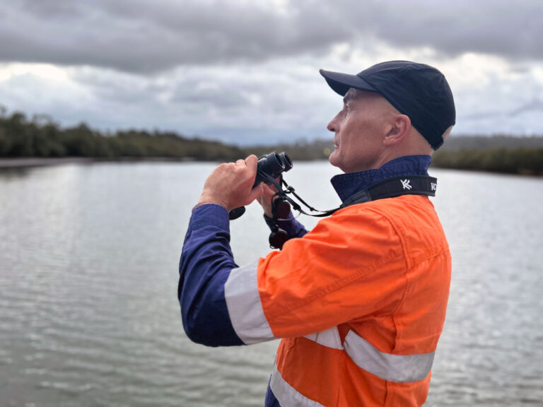
Dr Jeff McKee is Avisure’s Director of Research and Development, although with recent projects he is collaborating on, R&D could more accurately stand for research and drones. A scientist, licensed fixed-wing pilot, and Avisure’s chief remote pilot, McKee is using drones to streamline several wildlife research projects.
In the first, Avisure is collaborating with project lead, Professor Justin Welbergen and his team at the University of Western Sydney’s Animal Ecology Lab, to help validate Doppler weather radar data of flying fox movements. ‘Extant weather radar data is used to monitor bird populations in Europe,’ McKee says, ‘while the US Avian Hazard Advisory Service has been using reverse filtered raw data from Doppler radar for years’. Australian authorities, together with Welbergen’s group, have only just begun to adapt our existing weather radar technology to similar applications, he says.
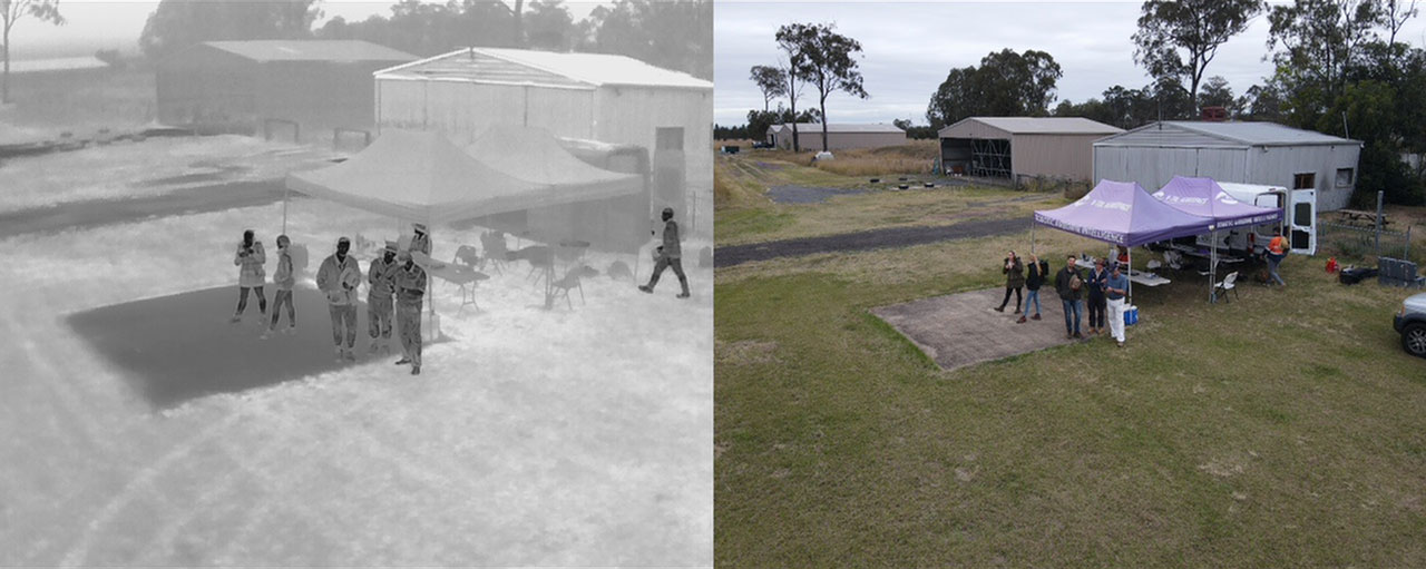
Avisure is focusing on flying fox camps in Queensland located in range of weather radar, counting the flying foxes in roosts using drones equipped with thermal imagery capture. ‘We’re looking at 14 to 15 camps in total, counting of which must be complete by June next year’, McKee says. ‘Counts of flying foxes using thermal imagery can be used to check against the weather radar data covering the camps.’ Eventually these technologies will help with mapping the direction they fly, the altitudes they fly at, and to model their use of the airspace and the landscape.
The team is in the preliminary stages of the work, calibrating the equipment, because he says, ‘Every camp is different—the vegetation is distinct and the flying foxes at each camp fly at different speeds and at different altitudes, so we had to go back to basics and standardise our technique.’
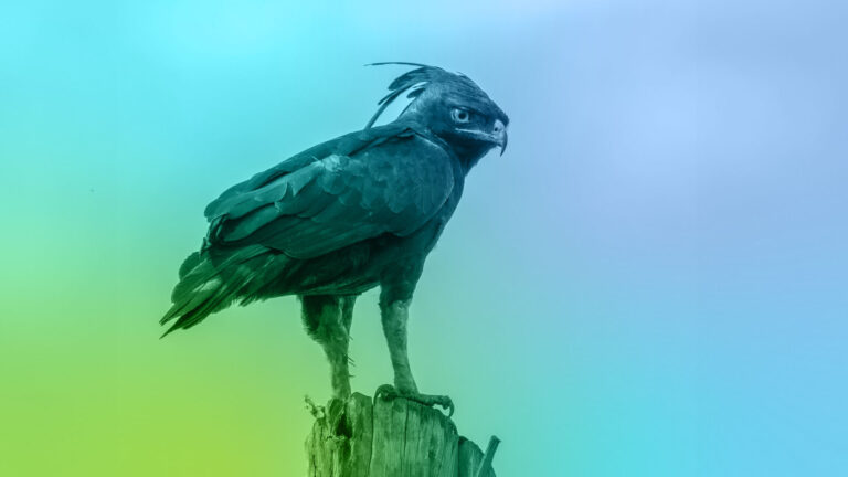
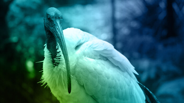
The second project involves Avisure’s more general collaboration with koala specialist, Dr Jon Hanger, of Endeavour Veterinary Ecology. Hanger, an experienced wildlife veterinarian, who completed his PhD on koala retrovirus, is undertaking an ongoing, detailed study of the health profile of koala populations, to gather data on the koala’s nutritional status, birth and death rates and disease states. Catching and fitting radio-collars to koalas in bush to monitor them was a very time-consuming exercise for the researchers. However, McKee says ‘now Hanger’s group can send the drone over the area at night and can determine the location of about 90 per cent of the koalas, and provided with their coordinates, the ground team can catch them much more effectively. Using this technique, we can get a drone to cover about 25 hectares of forest in an hour or so and pick up other useful data about what else is using the forest at night: flying foxes, possums, birds roosting.’
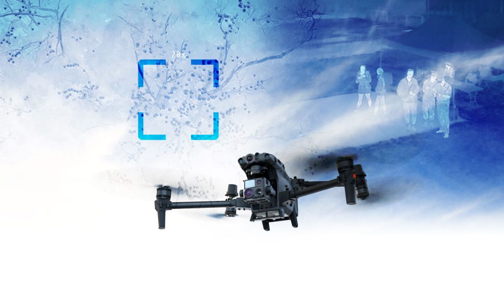
Avisure uses a variety of drones, for research and general operations, ranging from small micro-drones which are light and portable, and therefore can be useful for monitoring inaccessible swamps and boggy areas, for example; to sub-2kg drones for photogrammetry; and larger sub-25kg research platforms with thermal camera capability. ‘We’re trying to stay abreast of the technology,’ McKee says, ‘and ensure that our teams have one or two endorsed drone pilots equipped to apply the technology to daily operations.’
Share